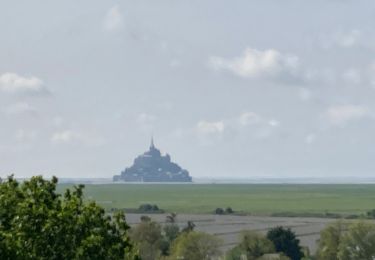
10.8 km | 11.4 km-effort
Manche 5
plevier
User
Length
42 km
Max alt
105 m
Uphill gradient
298 m
Km-Effort
46 km
Min alt
0 m
Downhill gradient
384 m
Boucle
No
Creation date :
2017-05-30 00:00:00.0
Updated on :
2017-05-30 00:00:00.0
3h03
Difficulty : Unknown
FREE GPS app for hiking
About
Trail Mountain bike of 42 km to be discovered at Normandy, Manche, Le Val-Saint-Père. This trail is proposed by plevier.
Description
Avranche-Mont Saint Michel
Positioning
Country:
France
Region :
Normandy
Department/Province :
Manche
Municipality :
Le Val-Saint-Père
Location:
Unknown
Start:(Dec)
Start:(UTM)
620372 ; 5393060 (30U) N.
Comments
Trails nearby
La Roche Torin - le bas courtils
Walking
Easy
Courtils,
Normandy,
Manche,
France
11 km | 11.9 km-effort
3h 5min
Yes
St Senier sous Avranche / Courtils
Walking
Easy
Marcey-les-Grèves,
Normandy,
Manche,
France
21 km | 23 km-effort
4h 22min
No
La roche taurin Mont st michel
Walking
Easy
Courtils,
Normandy,
Manche,
France
10.8 km | 11.4 km-effort
3h 52min
No
Marcey-les-Grèves /Caen
Bicycle tourism
Very difficult
Marcey-les-Grèves,
Normandy,
Manche,
France
124 km | 143 km-effort
5h 39min
No
Sortie cedric pontaubault -st poids
Motorbike
Poilley,
Normandy,
Manche,
France
114 km | 142 km-effort
4h 15min
Yes
mont st michel
Walking
Difficult
Courtils,
Normandy,
Manche,
France
16.5 km | 17.3 km-effort
2h 57min
Yes